Embark on the fascinating journey of film production, from the spark of an idea to the magical moment it lights up the screen. A complete guide for those passionate about storytelling through film
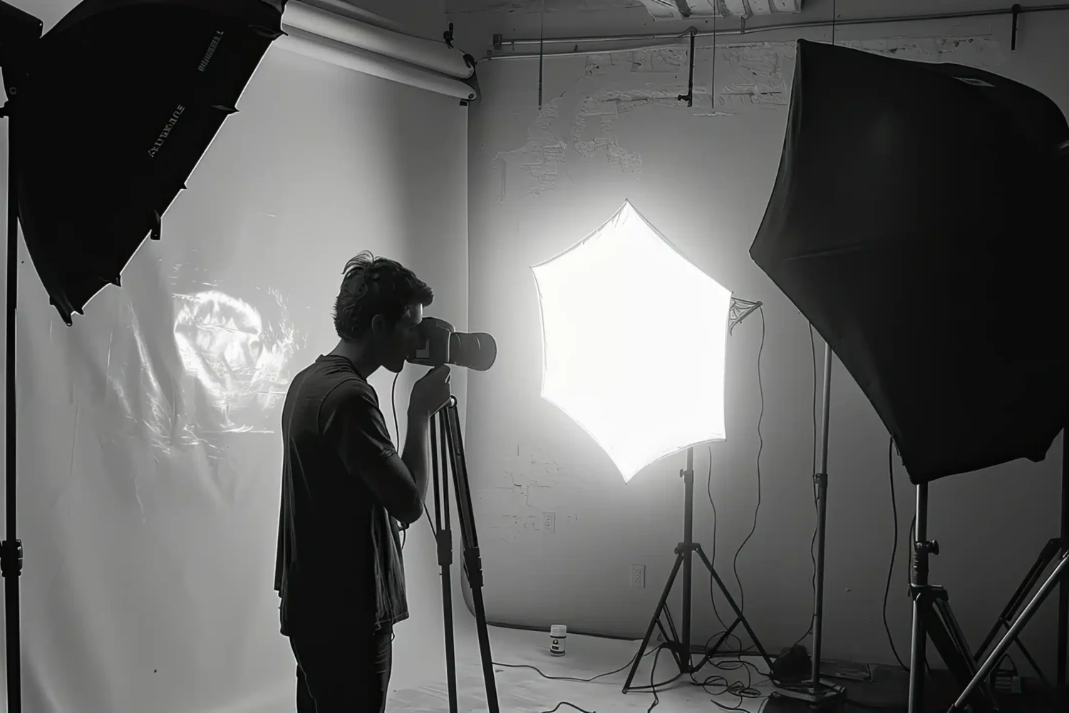
Why Professional Photography Matters for Brand Authority in Abu Dhabi
Embark on the fascinating journey of film production, from the spark of an idea to the magical moment it lights up the screen. A complete guide for those passionate about storytelling through film

Videography Services in Abu Dhabi: What You Should Know Before Hiring
Embark on the fascinating journey of film production, from the spark of an idea to the magical moment it lights up the screen. A complete guide for those passionate about storytelling through film

When Should You Book an Event Photographer in Abu Dhabi?
Embark on the fascinating journey of film production, from the spark of an idea to the magical moment it lights up the screen. A complete guide for those passionate about storytelling through film
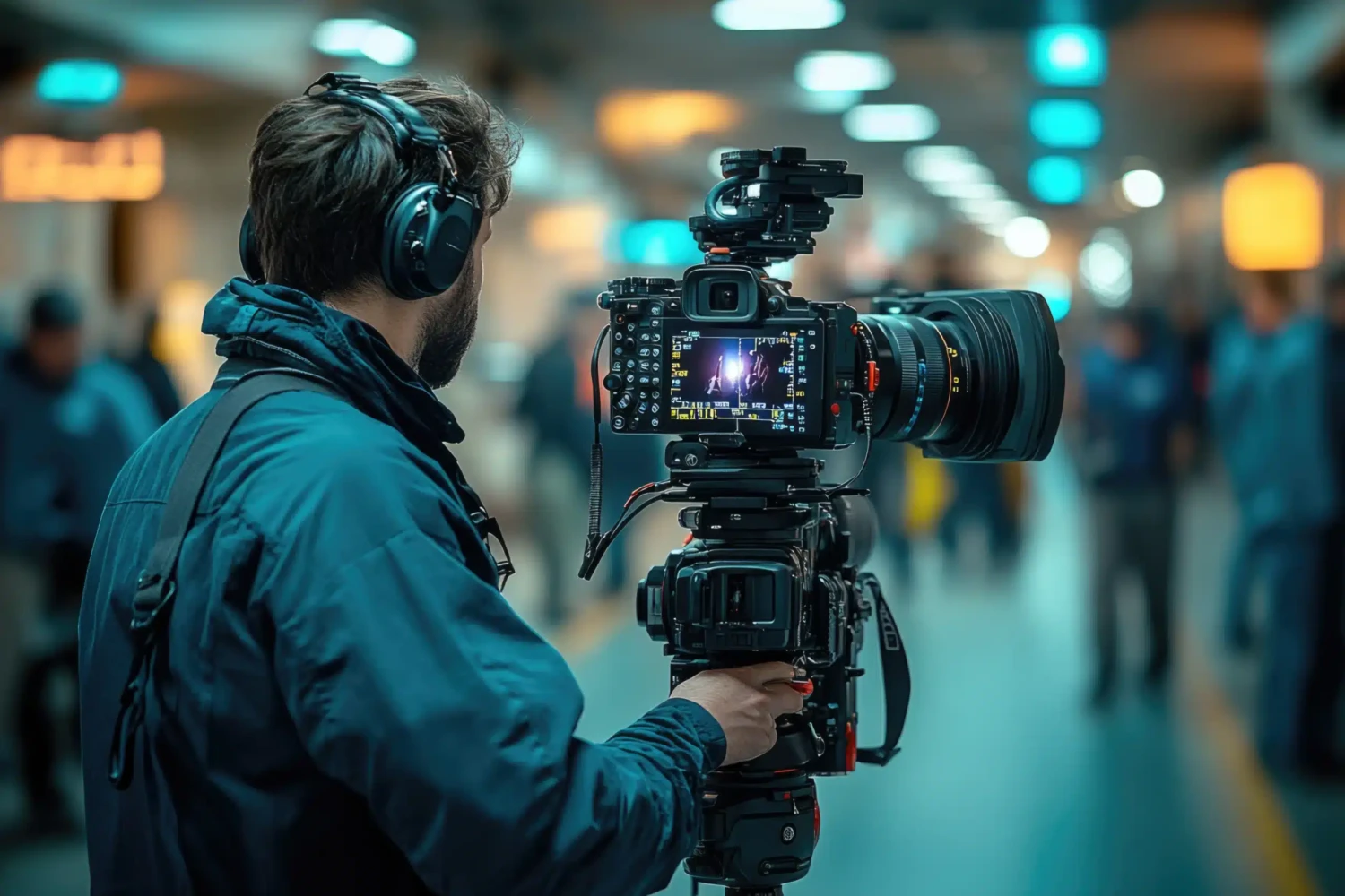
Why Businesses in Dubai Need Professional Video Production Services?
Embark on the fascinating journey of film production, from the spark of an idea to the magical moment it lights up the screen. A complete guide for those passionate about storytelling through film